
Edward Tang (Classics) | The Space in Between: Modelling Urban-Rural Relationships in the Ancient World (Max Planck Institute of Geoanthropology)
Edward Tang (Classics) | The Space in Between: Modelling Urban-Rural Relationships in the Ancient World (Max Planck Institute of Geoanthropology)
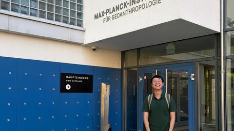
I spent nine weeks as a visiting researcher at the Max Planck Institute of Geoanthropology in Jena, in the Department of Coevolution of Land Use and Urbanisation (DCLU) under Prof. Patrick Roberts. The department starts from the premise that cities are a recurrent feature of human history going back millennia, and it is staffed accordingly. Rather than housing a set of regional specialists, it brings together anthropologists, archaeologists, historians, urban theorists, and palaeoclimatologists. The core aim of DCLU is to build models general enough to hold across cases with very different regional and temporal foci.
As a PhD student in Classics working narrowly on Han China and Rome, I am grateful to have worked alongside such a diverse group. Beyond learning to apply computational methods I had not previously engaged with in any depth, I gained a range of perspectives that no conference panel could have offered.
The project itself grows out of a dissatisfaction I have had since Stanford with how narrowly Roman historians have applied central-place theory and network analysis to understanding ancient settlement patterns. Existing scholarship either treats the countryside as a subservient zone that exists to supply individual cities, or studies cities purely as nodes in a transport network, as if the cities were connected independent of the landscapes that sustained it. As such, I try to look at the spaces in between, the non-urban areas that developed between cities. These cities shaped rural development not only by exploiting the surrounding countryside as a hinterland, but by relying on it to house and supply travellers, merchants, and officials moving along the roads. This obligation is what turned some stretches of countryside into settled, developed land, while leaving others largely untouched.
At Jena, working alongside a group of researchers who use computational modelling to study settlement placement and urban networks, I focused on one specific piece of this project: modelling road station networks and simulating movement along roads and between stations. I used the operation of the imperial postal system as a proxy to test whether the needs to supply this system intensified rural settlement along particular stretches of the empire.
Because we lack direct accounts of how the system actually functioned on the ground, simulation and modelling become especially valuable here. Using the Tabula Peutingeriana, a medieval copy of a late Roman map of cities and their waystations, alongside other spatial data, I modelled the likely movement of official messengers along these road networks. This required learning to integrate different kinds of historical evidence into a systematic framework and to use modelling software such as NetLogo, that produces operational models that are visually intuitive to interpret.
The project has already produced a few specific findings. Methodologically, simulating courier movement makes it possible to estimate the resources each waystation would have needed: if messengers required certain services at every stop, then simulating their movement also indicates roughly how much those services would have cost, and what the resulting burden might have looked like. This can run in the other direction: literary attestations of a waystation's budget can be used to test how quickly and reliably the system could actually have operated, given real budgetary constraints.
Substantively, despite the system's uniform presence across the empire, individual road segments and their surrounding landscapes bore very different burdens and enjoyed very different opportunities. Even though messengers in principle had to reach every city in the empire, the underlying network meant that some road segments were travelled far more heavily than others. Even where waystations were placed at regular intervals and held to similar obligations, areas along more heavily travelled roads carried a heavier burden and perhaps enjoyed greater financial benefit as well. This connects to settlement patterns more broadly: comparing the betweenness centrality of roads (essentially, a measure of how frequently a road would have been travelled) against rural settlement density shows that the densest rural settlement clusters along the most heavily travelled roads. This gives us a clearer picture of how connections between cities also shaped the development of the surrounding countryside.
Beyond the project itself, one of the most valuable parts of my stay at Jena was exposure to a different way of doing research. The DCLU operates very differently from the Classics department I am based in. Most researchers are away in July, and the Institute was quiet for a few weeks, but I was glad to witness its more typical rhythm during June and August. Regular departmental meetings covered both administrative matters and updates on conferences, funding, and publications; Prof. Roberts also met weekly with the postdoctoral researchers to hear updates from everyone individually. The department is further organized into small focus groups that meet regularly to discuss recent findings and ideas. I was glad to join the Urban Reading Group in particular, and intend to stay an active member even after my stay has ended.

